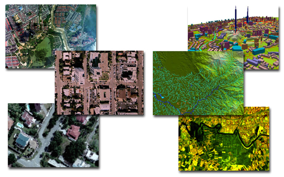
Landmark Mapping providing accurate reliable control
Often the size or conditions of a project make Aerial Photography the most economical and efficient way to provide mapping for the client. Our staff has a long history working with Landmark Mapping providing accurate reliable control for Aerial photography. We also have resources to provide historic aerial photography and current digital mapping that can be used for background or planning projects. Our partners at Landmark Mapping have been providing this service to the industry for over 35 years.